
Description
Attributes
- Compatibility: Compatible With Chart Plotters
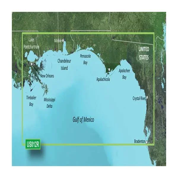
- Chart Coverage: Detailed Coverage Of Tampa, FL To New Orleans, LA Coastal Charts
- Storage: On SD/ Micro-SD Card
Product
Experience unparalleled coverage and brilliant detail when you’re on the water with charts that feature integrated Navionics « data, Auto Guidance technology and more.
Features & Benefits
- Provides Exceptional Coverage, Clarity And Detail With Coastal Charts That Feature Integrated Garmin And Navionics « Data
- Auto Guidance Technology Calculates A Route Using Your Desired Depth And Overhead Clearance And Provides A Suggested Path To Follow
- Certain Areas Offer High-Resolution Relief Shading, Which Combines Color And Shadow To Give You An Easy-To-Interpret, Clearer View Of Bottom Structure
- Provides Depth Range Shading For Up To 10 Depth Ranges, Enabling You To View Your Target Depth At A Glance
- Up To 1 Foot Contours Provide A More Accurate Depiction Of The Bottom Structure For Improved Fishing Charts
- To Give A Clear Picture Of Shallow Waters To Avoid, The Shallow Water Shading Allows For Shading At A User-Defined Depth
- High-Resolution Satellite Imagery With Navigational Charts Overlaid Gives You A Realistic View Of Your Surroundings
- FishEye View – This Underwater Perspective Shows 3-D Representation Of Bottom And Contours As Seen From Below The Waterline
- MarinerEye View – This View Provides A 3-D Representation Of The Surrounding Area Both Above And Below The Waterline
- Limited One Year Consumer Warranty


Reviews
There are no reviews yet.